
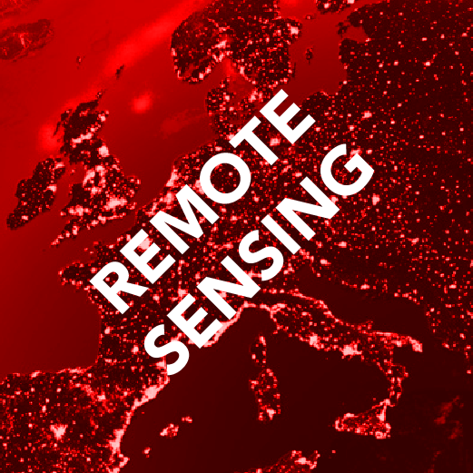
Remote Sensing
Epsilon Italia uses remotely sensed data obtained from scientific and commercial satellite sensors to:
• Develop remote sensing applications for the territorial control, the environmental monitoring and the management of natural and anthropogenic resources
• Process remotely sensed optical multi and hyper spectral and radar data, at different spatial resolution
Calibrate models and develop algorithms to assess geo-bio-physical parameters
Projects

MAteriali Compositi di POlimeri e FIbre Naturali, in co-operation with the University of Calabria (Chemistry and F.C Department – Mechanical, Energy and Managerial Engineering Departmentand) , ZLAB srl and Borrone srl, co-funded under POR Calabria 2007-2014, Sector 3 “Research, Teaching, University”. Project coordinated by Epsilon Italia. The main project aim is to enhance the broom as raw material for the production of insulating panels, both thermally and acoustically, to be used in building industry and boating. Epsilon Italia is responsible to develop new techniques that use satellite images for detecting spontaneous broom thickets. Visit project website: www.progettomacpofin.it.

Mediterranean Fuel Maps Geodatabase for Wildland & Forest Fire Safety”, co-funded by the LIFE+ 2010 Programme of the European Commission and coordinated by Epsilon International SA (GR). Within this project Epsilon Italia is responsible for the development and test of the remote sensing applications in Italy

Methodology for the assessment of indicators of environmental risk by means of satellite remote sensing techniques, in co-operation with the Department of Soil Conservation of the University of Calabria and the CNR-IRPI (Research National Council - Institute for the Hydrogelogical Protection) Section of Cosenza, co-funded under POR Calabria 2000-2006, Mis. 3.16.D1 RSTI (Research Scientific Technological Innovative) Cooperative actions for the enterprises.

Identification and Evaluation of Parameters for the Desertification Risk Assessment", in co-operation with CNR-IRPI (Research National Council - Institute for the Hydrogeological Protection) Section of Cosenza and funded by MIUR (Italian Ministry for Education, University and Research).

Data mining applications to the land cover classification by means of radar and optical multispectral satellite data”, carried out in the frame of the agreement signed with the Engineering Faculty of University of Calabria and finalised to host training stages for degree and PhD thesis.

Soil moisture assessment from microwave satellite remote sensing", carried out in the frame of the agreement signed with the Engineering Faculty of University of Calabria and finalised to host training stages for degree and PhD thesis.

Evapotraspiration assessment from optical satellite remote sensing", in the frame of the collaboration agreement with CAMILAB (Automatic Cartography and Hydrogeological Modelling Laboratory) of the Department of Soil Conservation of the University of Calabria (IT), addressed to R&D activities related to remote sensing applied to hydrology.
Spatial-temporal evolution of the vegetation cover by means of satellite remote sensing techniques", carried out in the frame of the agreement signed with the Engineering Faculty of University of Calabria and finalised to host training stages for degree and PhD thesis.

Remote Sensing Thematic Laboratory for marine applications", funded by Calpark (Scientific and Technological Park of Calabria) and MIUR (Italian Ministry of University and Research).

Earth Observation data policy and Europe", a Concerted Action led by UCL (University College London), funded under Area 3.3 (CEO Programme) of the Environment and Climate Programme of the 4th European Commission FP.

Detection and monitoring of contaminated sites by means of satellite Remote Sensing and Neural Networks" in co-operation with the Department of Soil Protection of University of Calabria, in the frame of the Fundamental Research Programme 1999-2000 of ASI (Italian Space Agency).